 Ridgeflow
Waoku Coach Road Track
Northland · New Zealand
Distance23 km (14.3 mi)along the line
Climb409 m (1,342 ft)578 m (1,896 ft) down
High point692 m (2,270 ft)lowest 271 m (889 ft)
DOC's time12 hr one wayas DOC publishes it
Walking time6 h 25 minone way, moving, our estimate
GradeAdvancedDOC
Elevation profile
Map
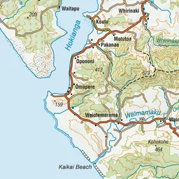
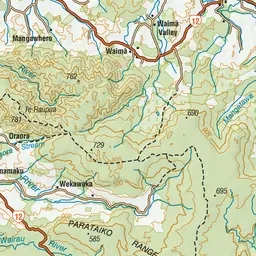
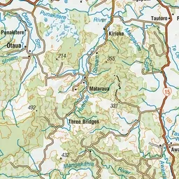
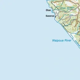
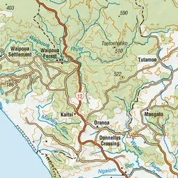
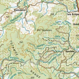
Pink: the track. Green dot: the start.
About the track
Follow the gentle incline of an historic coach road through the heart of the Mataraua Forest.
Waoku Coach Road Track on DOC's website, for track alerts, bookings and closures.