 Ridgeflow
West Matukituki Track
Otago · New Zealand
Distance15.9 km (9.9 mi)along the line
Climb625 m (2,051 ft)197 m (646 ft) down
High point831 m (2,726 ft)lowest 399 m (1,309 ft)
DOC's time6 hr one wayas DOC publishes it
Walking time5 h 1 minone way, moving, our estimate
GradeIntermediate, AdvancedDOC
Elevation profile
Map
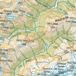
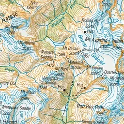
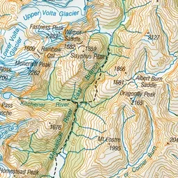
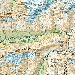
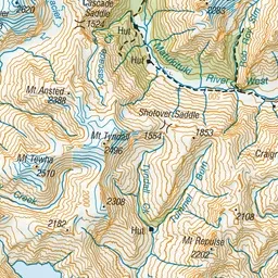
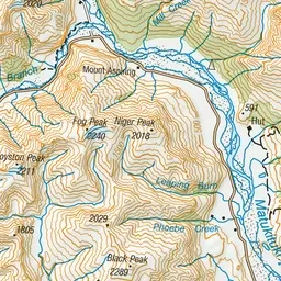
Pink: the track. Orange: huts. Blue: campsites.
About the track
Following the river and with views of notable glaciers, the West Matukituki Valley track takes you through sections of open farmland, native forest, and grassy flats before finishing at the head of the valley.
Huts on or near the track
- Aspiring Hut (467 m, bookable)
Campsites
- Aspiring Campsite (462 m)
West Matukituki Track on DOC's website, for track alerts, bookings and closures.