 Ridgeflow
Whakamaharatanga Walkway
Hawke's Bay · New Zealand
Distance1.2 km (0.7 mi)along the line
Climb42 m (138 ft)42 m (138 ft) down
High point61 m (200 ft)lowest 19 m (62 ft)
DOC's time40 min / 1 hras DOC publishes it
Walking time22 minone way, moving, our estimate
GradeEasyDOC
Elevation profile
Map
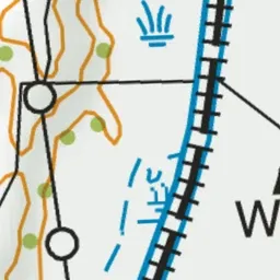

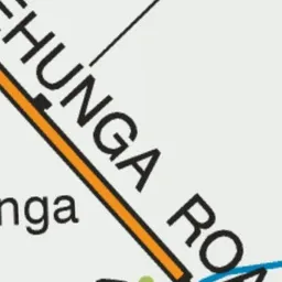
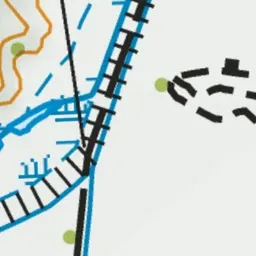
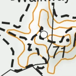
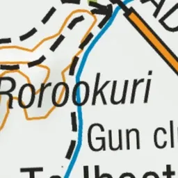
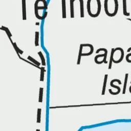
Pink: the track. Green dot: the start.
About the track
The walkway crosses farmland through two old pā sites with terraces, pits and middens (shell dumps). Most of the farmland was under water prior to the Napier earthquake in 1931.
Whakamaharatanga Walkway on DOC's website, for track alerts, bookings and closures.