 Ridgeflow
Whakanui Track
Wellington · New Zealand
Distance8.5 km (5.3 mi)along the line
Climb571 m (1,873 ft)525 m (1,722 ft) down
High point644 m (2,113 ft)lowest 102 m (335 ft)
DOC's time7 hrs to Wainuiomataas DOC publishes it
Walking time3 h 5 minone way, moving, our estimate
GradeAdvancedDOC
Elevation profile
Map
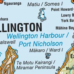
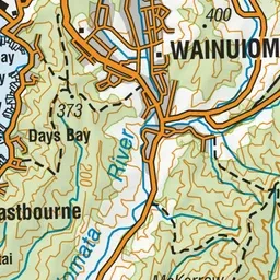
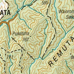
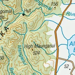
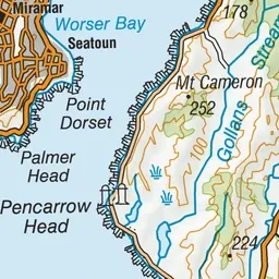
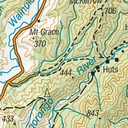
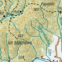
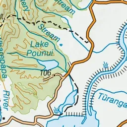
Pink: the track. Green dot: the start.
About the track
This track leads from Wainuiomata to the Ōrongorongo River and offers views of the Remutaka Range and surrounding areas.
Whakanui Track on DOC's website, for track alerts, bookings and closures.