 Ridgeflow
Whakapapaiti Valley Track
Manawatū-Whanganui · New Zealand
Distance10.4 km (6.5 mi)along the line
Climb540 m (1,772 ft)217 m (712 ft) down
High point1,496 m (4,908 ft)lowest 1,120 m (3,675 ft)
DOC's time4 - 5 hras DOC publishes it
Walking time3 h 30 minone way, moving, our estimate
GradeAdvancedDOC
Elevation profile
Map
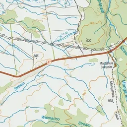
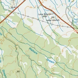
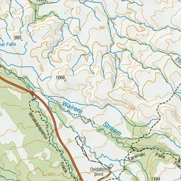
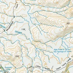
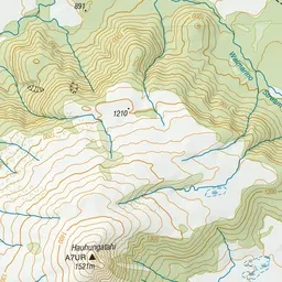
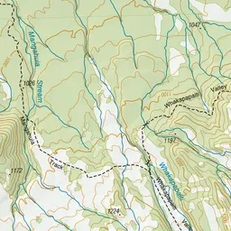
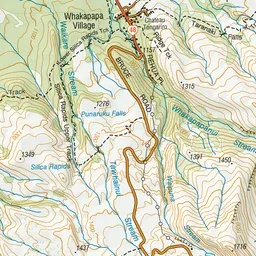
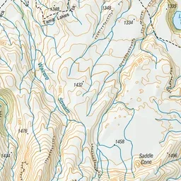
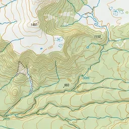
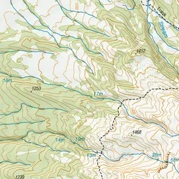
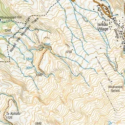
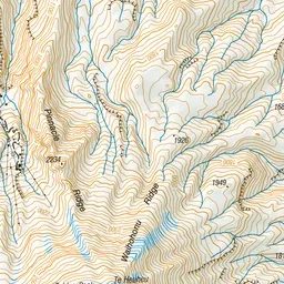
Pink: the track. Green dot: the start. Orange: huts. Blue: campsites.
About the track
Winding through stunted beech forest, the Whakapapaiti Valley Track makes its way to the Whakapapaiti Hut. From here you can continue in a loop back to Whakapapa Village. This track is part of Te Araroa Trail.
Huts on or near the track
- Whakapapaiti Hut (1254 m, bookable)
Campsites
- Whakapapa Holiday Park (1134 m)
Whakapapaiti Valley Track on DOC's website, for track alerts, bookings and closures.