 Ridgeflow
Whakapono and Tumanako tracks
Northland · New Zealand
Distance2.6 km (1.6 mi)along the line
Climb178 m (584 ft)186 m (610 ft) down
High point232 m (761 ft)lowest 70 m (230 ft)
DOC's time1 hr 25 one wayas DOC publishes it
Walking time56 minone way, moving, our estimate
GradeEasyDOC
Elevation profile
Map
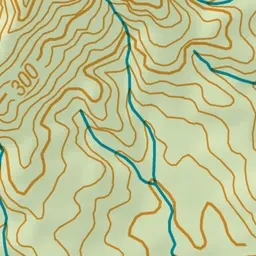
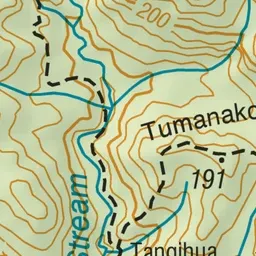
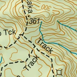
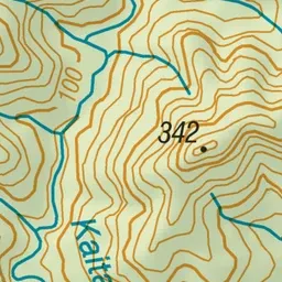
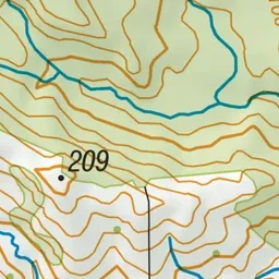
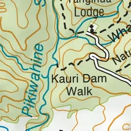
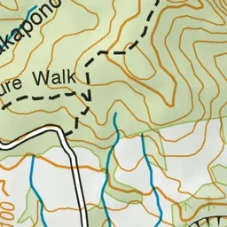
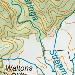
Pink: the track.
About the track
The Whakapono and Tumanako tracks form a loop. Plan for the walk to take about 2-3 hours if you wish to complete the full loop.
Whakapono and Tumanako tracks on DOC's website, for track alerts, bookings and closures.