 Ridgeflow
Whangamarino Historic Walk
Waikato · New Zealand
Distance0.9 km (0.5 mi)along the line
Climb21 m (69 ft)21 m (69 ft) down
High point42 m (138 ft)lowest 20 m (66 ft)
DOC's time25 minas DOC publishes it
Walking time15 minone way, moving, our estimate
GradeEasiestDOC
Elevation profile
Map

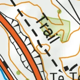
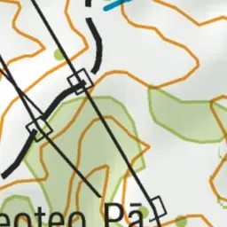
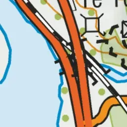
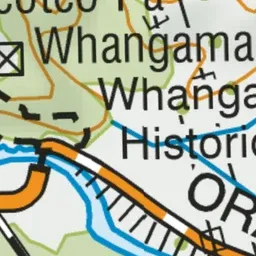
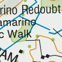
Pink: the track. Green dot: the start.
About the track
This short walk takes in the Whangamarino Redoubt and Te Teoteo's Pā – two key sites of conflict during the Waikato War of 1863-64. This track is part of Te Araroa Trail.
Whangamarino Historic Walk on DOC's website, for track alerts, bookings and closures.