 Ridgeflow
Whangaruru North Head walking tracks
Northland · New Zealand
Distance6.4 km (4 mi)all 6 sections
Climb391 m (1,283 ft)286 m (938 ft) down
High point178 m (584 ft)lowest 6 m (20 ft)
DOC's time1 hr - 2 hr 30 minas DOC publishes it
GradeEasyDOC
This track is mapped in 6 separate sections, so there is no single profile or walking time. Climb is added up section by section.
Map
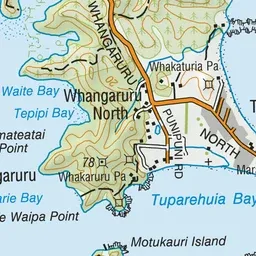
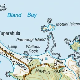
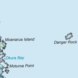
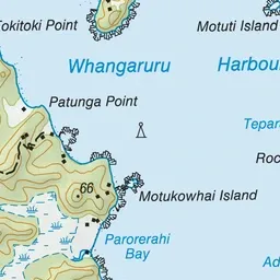
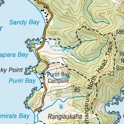
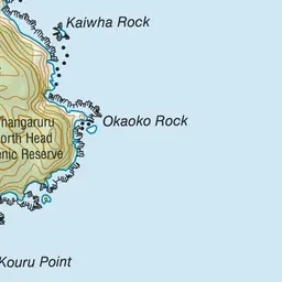
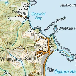
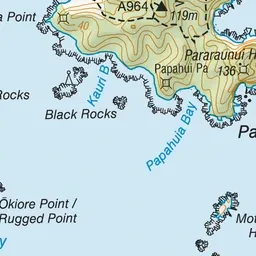
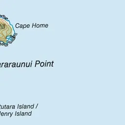
Pink: the track. Blue: campsites.
About the track
The Whangaruru North Head Walking Tracks start from the popular Puriri Bay Campsite. The tracks follow through native forest and ridgelines before dropping down into secluded bays.
Campsites
Whangaruru North Head walking tracks on DOC's website, for track alerts, bookings and closures.