 Ridgeflow
Whareroa Farm tracks
Wellington · New Zealand
Distance7.8 km (4.8 mi)all 7 sections
Climb387 m (1,270 ft)295 m (968 ft) down
High point219 m (719 ft)lowest 21 m (69 ft)
GradeEasiest, Easy, AdvancedDOC
This track is mapped in 7 separate sections, so there is no single profile or walking time. Climb is added up section by section.
Map
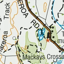
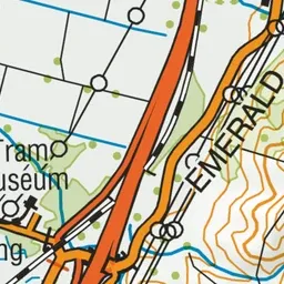
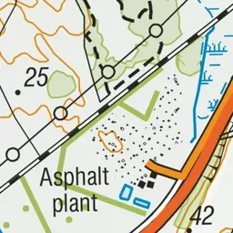
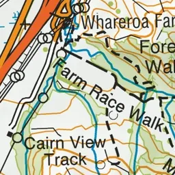
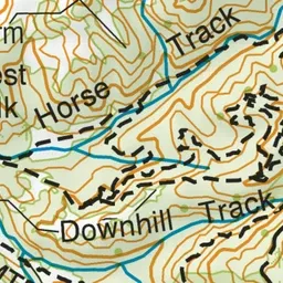
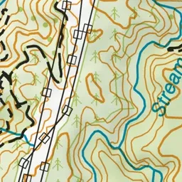
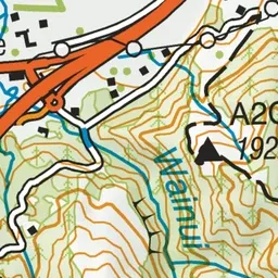
Pink: the track.
About the track
Enjoy regenerating shrubland, coastal views and kohekohe forest on these walks that are suitable for children.
Whareroa Farm tracks on DOC's website, for track alerts, bookings and closures.