 Ridgeflow
Whirinaki Recreation Camp tracks
Bay of Plenty · New Zealand
Distance3 km (1.9 mi)along the line
Climb133 m (436 ft)156 m (512 ft) down
High point432 m (1,417 ft)lowest 323 m (1,060 ft)
DOC's time30 min | 1 hras DOC publishes it
Walking time58 minone way, moving, our estimate
GradeEasyDOC
Elevation profile
Map
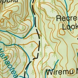
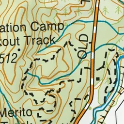
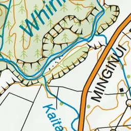
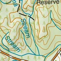
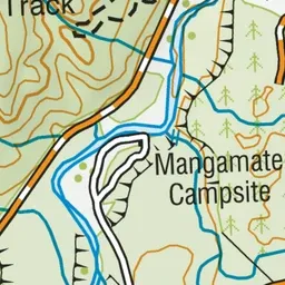
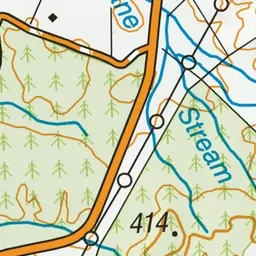
Pink: the track.
About the track
Walk through native forest, along the Whirinaki River or uphill to great views, on these short walks from the Whirinaki Recreation Camp.
Whirinaki Recreation Camp tracks on DOC's website, for track alerts, bookings and closures.