 Ridgeflow
Whirinaki Waterfall Loop Track
Bay of Plenty · New Zealand
Distance8.6 km (5.4 mi)all 3 sections
Climb149 m (489 ft)149 m (489 ft) down
High point451 m (1,480 ft)lowest 380 m (1,247 ft)
DOC's time3 hr 30 minas DOC publishes it
GradeEasyDOC
This track is mapped in 3 separate sections, so there is no single profile or walking time. Climb is added up section by section.
Map
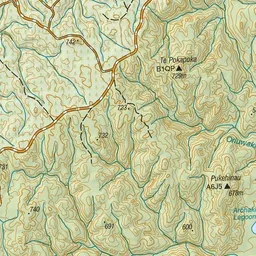
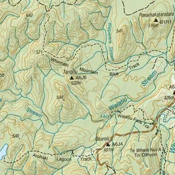
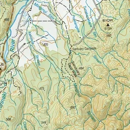
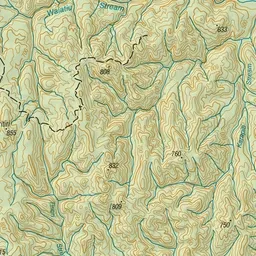
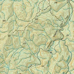
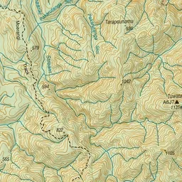
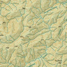
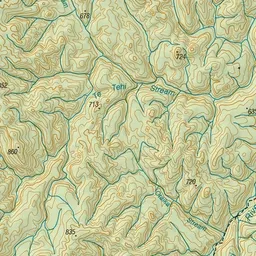
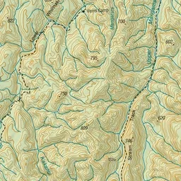
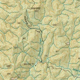
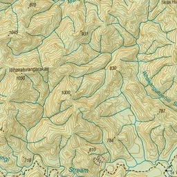
Pink: the track.
About the track
On the Whirinaki Waterfall Loop Track you'll follow the Whirinaki River as it flows through podocarp forest.
Whirinaki Waterfall Loop Track on DOC's website, for track alerts, bookings and closures.