 Ridgeflow
Whitcombe Pass Track
West Coast · New Zealand
Distance32.2 km (20 mi)along the line
Climb1,525 m (5,003 ft)391 m (1,283 ft) down
High point1,243 m (4,078 ft)lowest 101 m (331 ft)
DOC's time3-4 days to Whitcombe Passas DOC publishes it
Walking time10 h 35 minone way, moving, our estimate
GradeAdvancedDOC
Elevation profile
Map
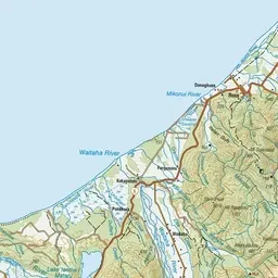
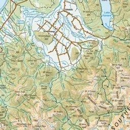
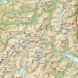
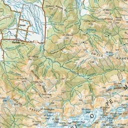
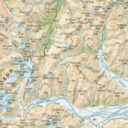
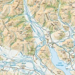
Pink: the track. Green dot: the start. Orange: huts.
About the track
The Whitcombe Pass Track takes you through the very rugged bush clad valleys of the lower Hokitika and Whitcombe Rivers to the Main Divide. This guide describes the route from the Hokitika road end to Whitcombe Pass only.
Huts on or near the track
- Historic Price Flat Hut (368 m)
- Price Flat Hut (389 m)
- Wilkinson Hut (613 m)
- Frew Hut (220 m)
- Rapid Creek Hut (120 m)
- Neave Hut (766 m)
Whitcombe Pass Track on DOC's website, for track alerts, bookings and closures.