 Ridgeflow
White Cliffs Walkway Track
Taranaki · New Zealand
Distance6.7 km (4.1 mi)along the line
Climb485 m (1,591 ft)485 m (1,591 ft) down
High point237 m (778 ft)lowest 11 m (36 ft)
DOC's timeup to 8 hras DOC publishes it
Walking time2 h 28 minone way, moving, our estimate
GradeIntermediateDOC
Elevation profile
Map


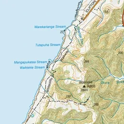

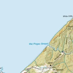
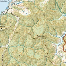
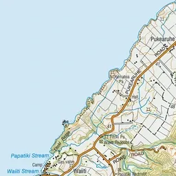
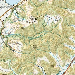
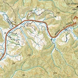
Pink: the track. Green dot: the start.
About the track
This walkway uses the Kapuni to Auckland gas pipeline route for a considerable distance. The laying of the pipeline opened up walking access to the dramatic forest and coastal country of the region.
White Cliffs Walkway Track on DOC's website, for track alerts, bookings and closures.