 Ridgeflow
Wilkin Valley tracks
Otago · New Zealand
Distance32.3 km (20 mi)all 4 sections
Climb1,341 m (4,400 ft)563 m (1,847 ft) down
High point1,134 m (3,720 ft)lowest 301 m (988 ft)
DOC's time4–5 daysas DOC publishes it
GradeAdvancedDOC
This track is mapped in 4 separate sections, so there is no single profile or walking time. Climb is added up section by section.
Map
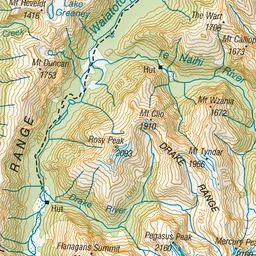

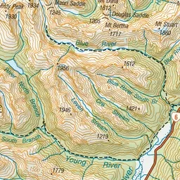
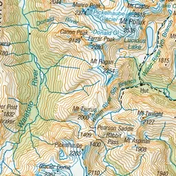
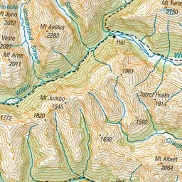
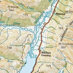
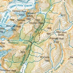
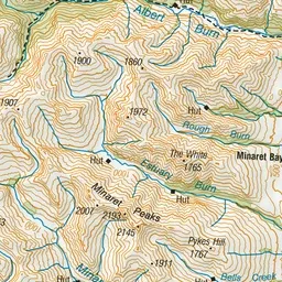
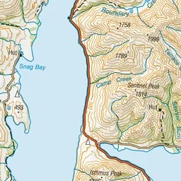
Pink: the track. Orange: huts.
About the track
These tracks follow the upper reaches of the Wilkin Valley and can be treated as a separate hiking trip or connect with, say, the Gillespie Circuit. It can also lead to a route to the Matukituki Valley.
Huts on or near the track
- Kerin Forks Hut (344 m)
- Top Forks Hut (613 m)
Wilkin Valley tracks on DOC's website, for track alerts, bookings and closures.