 Ridgeflow
Wills Valley Track
West Coast · New Zealand
Distance7.3 km (4.5 mi)along the line
Climb528 m (1,732 ft)173 m (568 ft) down
High point567 m (1,860 ft)lowest 197 m (646 ft)
DOC's time5 - 6 hras DOC publishes it
Walking time2 h 42 minone way, moving, our estimate
GradeAdvancedDOC
Elevation profile
Map
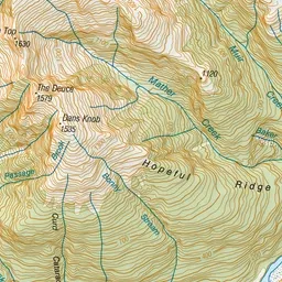
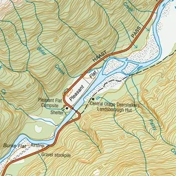
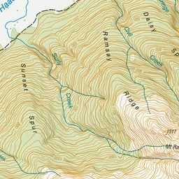
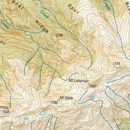
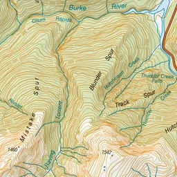
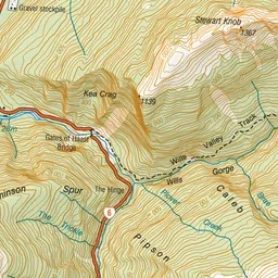
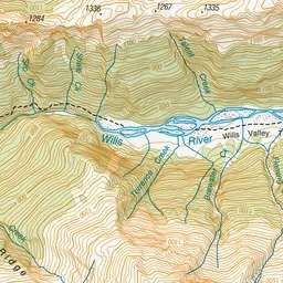
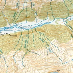
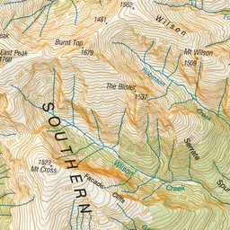
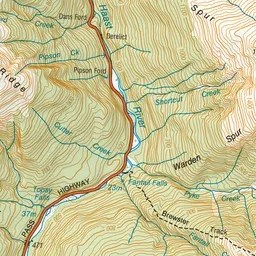
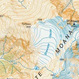
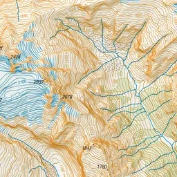
Pink: the track. Green dot: the start. Orange: huts.
About the track
This track is for experienced hikers and starts at the Gates of Haast Bridge. Like most of the smaller valleys in this area, the Wills’ lower reaches are gorged, and then open out to flats further up.
Huts on or near the track
- Wills Hut (549 m)
Wills Valley Track on DOC's website, for track alerts, bookings and closures.