 Ridgeflow
Woodlands Walk
Canterbury · New Zealand
Distance2.3 km (1.4 mi)along the line
Climb21 m (69 ft)18 m (59 ft) down
High point399 m (1,309 ft)lowest 378 m (1,240 ft)
DOC's time1 hr returnas DOC publishes it
Walking time37 minone way, moving, our estimate
GradeEasiestDOC
Elevation profile
Map
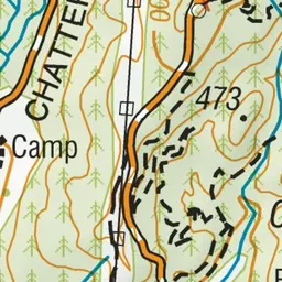
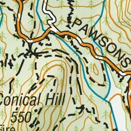
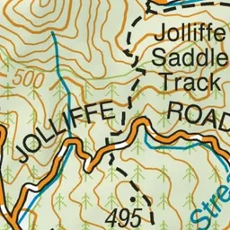
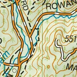
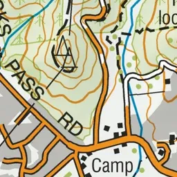
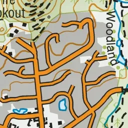
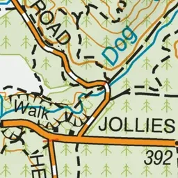
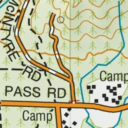
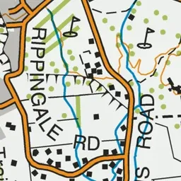
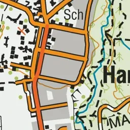

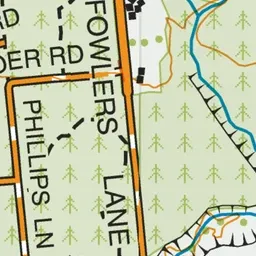
Pink: the track.
About the track
This short loop walk is located at the entrance to Hanmer Forest Park and is a great option to complete with children. It can be joined with other popular tracks to create a longer walk.
Woodlands Walk on DOC's website, for track alerts, bookings and closures.