 Ridgeflow
Woods Creek Track
West Coast · New Zealand
Distance0.9 km (0.6 mi)along the line
Climb9 m (30 ft)12 m (39 ft) down
High point178 m (584 ft)lowest 159 m (522 ft)
DOC's time45 minas DOC publishes it
Walking time14 minone way, moving, our estimate
GradeEasyDOC
Elevation profile
Map
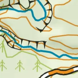
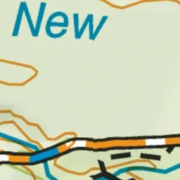
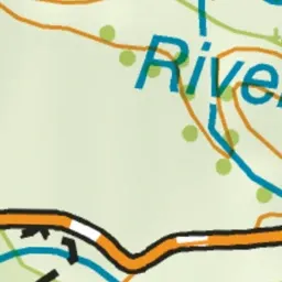
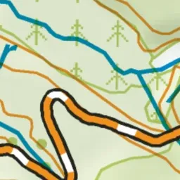
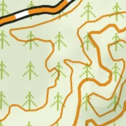
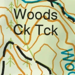
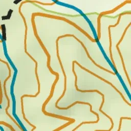
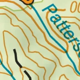
Pink: the track. Green dot: the start.
About the track
This fascinating forest track passes by tailraces and dams and through tunnels built by gold miners in the 19th century.
Woods Creek Track on DOC's website, for track alerts, bookings and closures.