 Ridgeflow
York Road Loop Track
Taranaki · New Zealand
Distance5.2 km (3.2 mi)all 10 sections
Climb101 m (331 ft)111 m (364 ft) down
High point636 m (2,087 ft)lowest 529 m (1,736 ft)
DOC's time3 hras DOC publishes it
GradeEasyDOC
This track is mapped in 10 separate sections, so there is no single profile or walking time. Climb is added up section by section.
Map
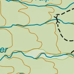
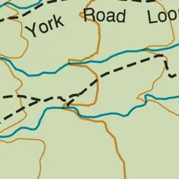
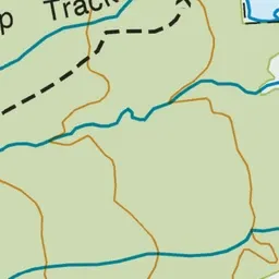
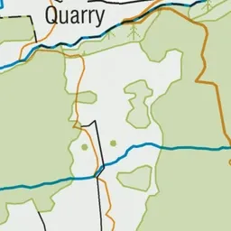
Pink: the track.
About the track
Explore the remnants of the old Egmont Branch railway quarry complex while walking through native forest.
York Road Loop Track on DOC's website, for track alerts, bookings and closures.